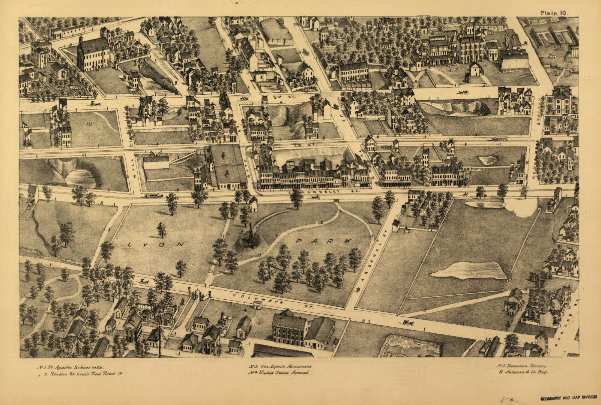
I have seen the Compton and Dry pictorial St. Louis used for a variety of historical purposes, but I have yet to see a full comparison of the pictorial St. Louis in 1875 with what remains today. Each day a new plate will appear in the order of their appearance in the Compton and Dry map, followed by an edited version in which the remaining buildings (as far as I can tell) are highlighted in blue. All images are from the
Library of Congress downloadable map.
Plate index:
(Click image to enlarge)
Surviving buildings from Plate #12:
• 3707 Marine (residential)
• 3719 Marine (residential)
• 3757 Marine (residential)
• 3738 Kosciusko (residential)
• 3741 Kosciusko (residential)
• 3748 Kosciusko (residential)
• 3759 Kosciusko (residential)
• 3806 Kosciusko (residential)
• 3810 Kosciusko (residential)
• 3815 Kosciusko (residential)
• 3825 Kosciusko (residential)
Plate #12:
(Click image to enlarge)
Remaining buildings from Plate #12:
(Click image to enlarge)


